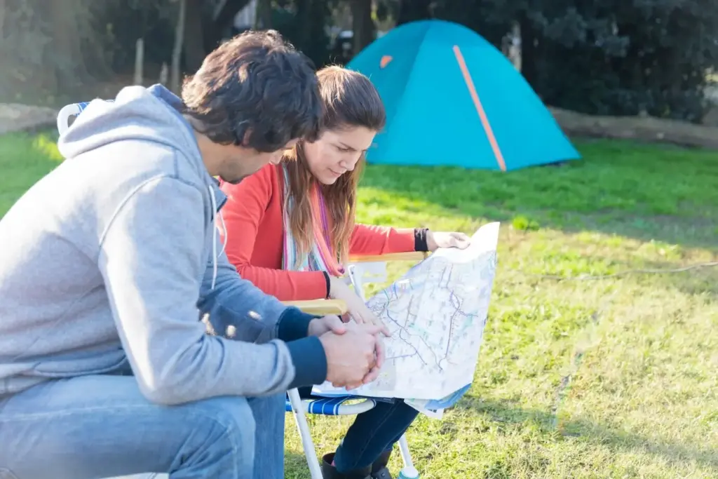
Finding Your Way Across the High Alps Without Batteries

Today we explore Navigating the Alps the Analog Way: Paper Maps, Compasses, and Mechanical Altimeters, celebrating techniques that keep you confident when screens fail or signals vanish. From reading contours to setting pressure references and taking steady bearings in storms, this approach blends patience, precision, and mountain sense. Expect practical tips, lived stories, and a renewed respect for tools that work in the cold, the wet, and the wild.

Contour Lines That Speak

Close contours shout steep, spread contours murmur gentle. Learning to feel the rhythm of these lines helps you picture gullies, shoulders, and benches as if you are already there. Count intervals to estimate elevation gains, spot convexities where snow can slide, and trace safe ramps around cliff bands. With practice, a folded sheet becomes a three‑dimensional model living in your mind.

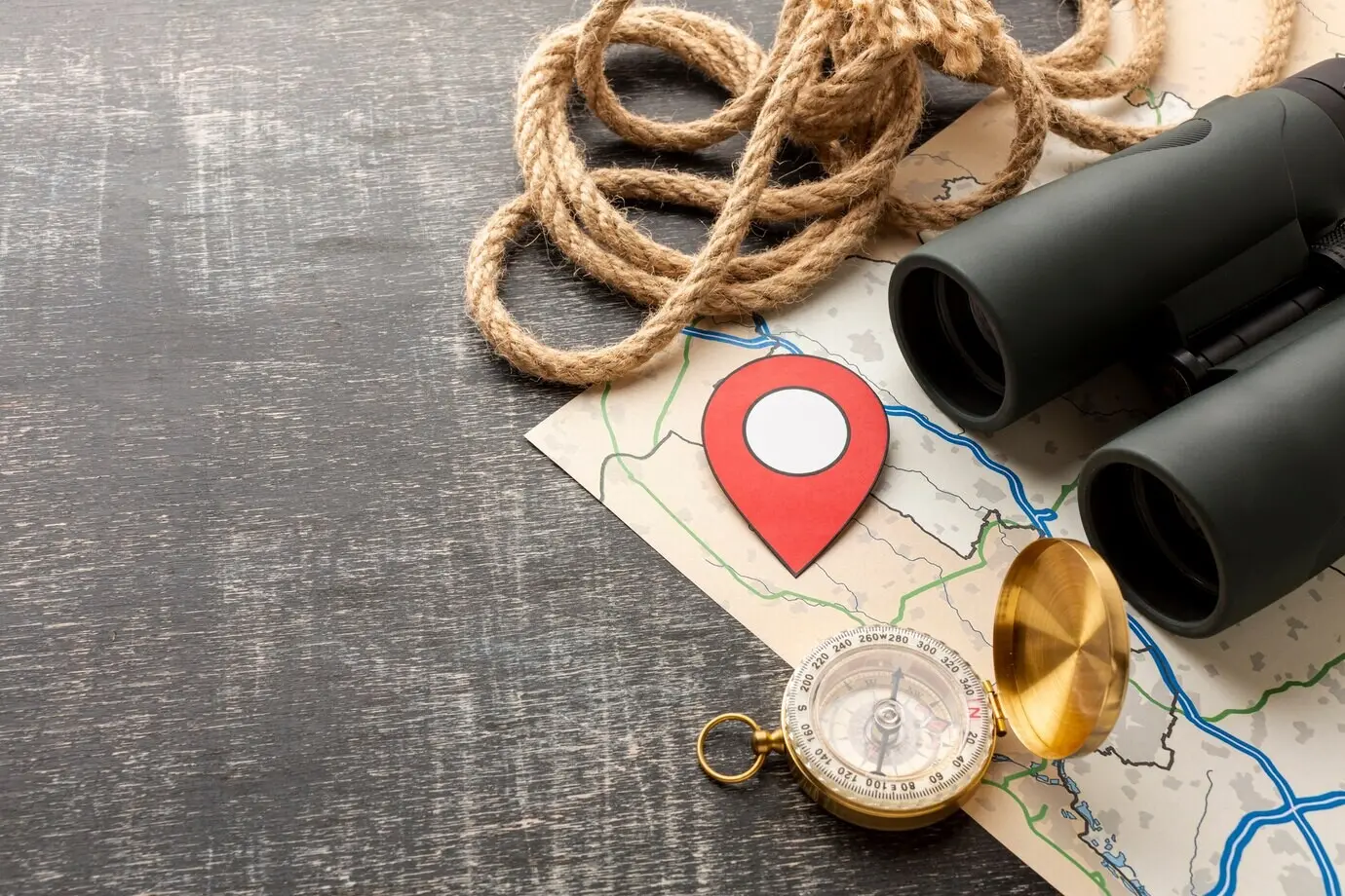
Picking the Right Scale

In the Alps, 1:25,000 offers exquisite detail for micro‑route decisions, while 1:50,000 suits broader planning and longer traverses. Choose based on weather, visibility, and route complexity. Smaller scales may hide slope nuances; larger scales can overwhelm with detail. Carrying both, marked with planned bearings and altitude checkpoints, lets you zoom your attention like a lens, without ever charging a device.

Weatherproofing Your Map

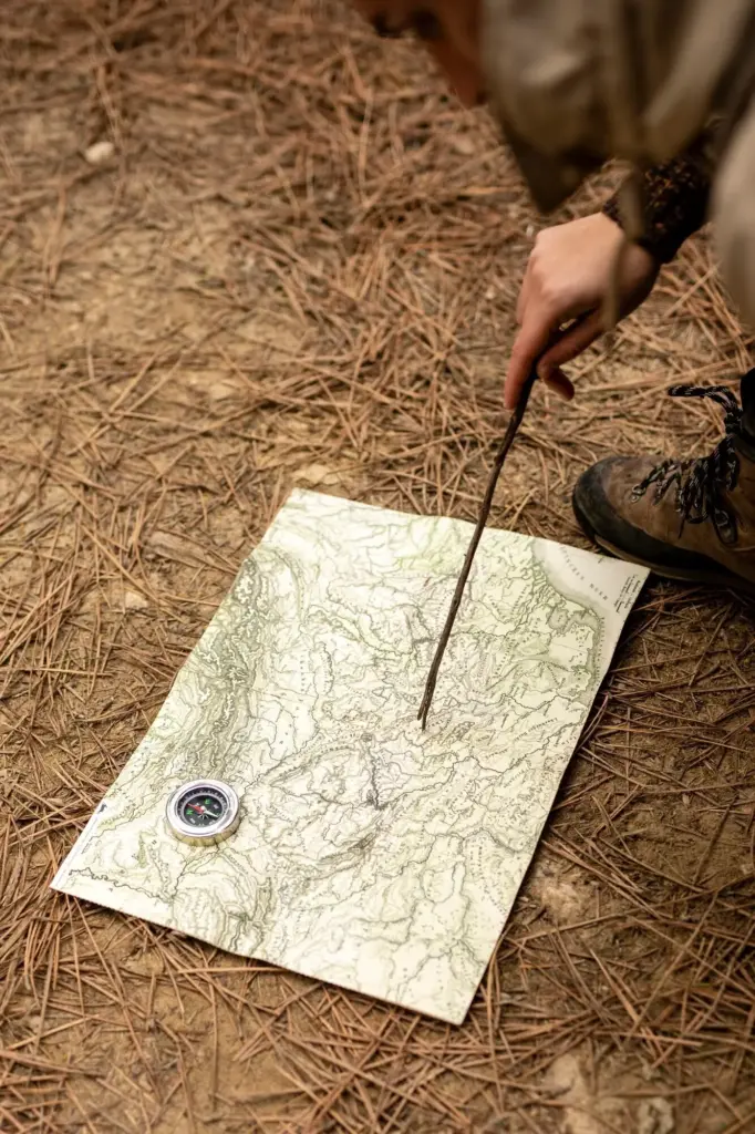
Rain, sleet, and wind conspire to turn paper into pulp unless you prepare. A transparent case, strategic folds, and pencil annotations keep information intact and quick to access. Mark escape cols, hut phone numbers, avalanche hazard clues, and timing notes. Reinforce creases with thin tape, stash an extra sheet in a drybag, and attach a tiny compass rose to corners for rapid orientation.

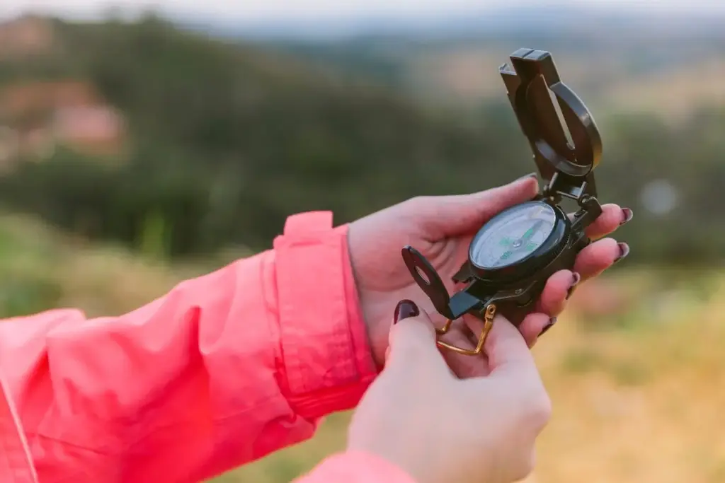
Declination Without Drama

Treat declination like fastening your seatbelt: a simple habit that prevents big problems. The Alpine range often has only a few degrees of difference, yet over long legs those degrees drift into dangerous errors near cornices or cliffs. Note the value on your map margin, write it on your wrist or notebook, and rehearse adding or subtracting it until the correction feels automatic.

Bearings in Whiteout

When the world dissolves into milk, a bearing is clarity. Sight along the capsule, send a partner ahead as a human waypoint, and leapfrog carefully. Use aiming off to intentionally meet a safe boundary like a moraine rather than gambling for a narrow hut path. Count paces, listen for streams under snow, and keep chatter purposeful to maintain focus over featureless slopes.

Avoiding Metal Mishaps

Compasses dislike cluttered pockets. Phones, carabiners, stoves, and even steel ski edges can pull the needle astray when you least expect it. Create a ritual: take three steps away from packs, extend your arms, and check for steady movement. Compare with a teammate’s compass if doubt creeps in. Reliability comes not only from tool quality, but from disciplined, repeatable habits.

Calibrate Early and Often

Make calibration part of your start‑up ritual: valley station, village church step, or hut threshold. Note the official elevation, set the bezel, and record time and weather. Repeat at each reliable point along your route. These frequent confirmations turn a simple dial into an anchor, reducing drift and turning your day into a chain of confident, verified altitude milestones.

Pressure Tricks of Storms

Low pressure mimics ascent, high pressure mimics descent. In fast‑moving fronts, your indicated altitude may creep even as your legs pause. Interpret trends alongside cloud base, wind shifts, and snowfall texture. If numbers stop matching expected contours, trust the landscape first, then re‑calibrate at the next certain point. Prudence here can prevent wandering into avalanche paths cloaked by fog.

Combining with Map Profiles

Sketch a simple elevation profile the night before. As you climb, compare altimeter readings with expected passes, benches, and slope breaks. If your profile says a long flat should follow a 300‑meter rise, feel for it underfoot. When readings and terrain agree, confidence grows; when they disagree, pause and diagnose before committing to terrain that might trap you.

Estimating Time Honestly

Start with Naismith’s baseline, then layer reality: altitude slows breathing, talus steals minutes, and glacial crust may require roped caution. Add margins for photos, snacks, and route faffing. A generous plan feels luxurious at first and heroic later when weather closes, because you have capacity to adapt instead of sprinting blindly toward an arbitrary finish time.

Safe Escape Options

Every route should contain quiet exits that you hope never to use. Identify cols that drop to valleys with bus lines, huts that welcome early turnarounds, and lifts that still run in shoulder seasons. Mark them clearly on paper so stress cannot hide them. Agree as a group on decision points where you will stop, breathe, and evaluate options without ego.

A Story From a Snowy Col

On a March traverse, fog wrapped a high saddle until the world shrank to thirty meters. Our phones showed spinning wheels, then black screens. The map, compass, and altimeter stayed calm. We took a corrected bearing, paced to a predicted bench, and felt the slope relax exactly where contours promised. That quiet alignment felt like a handshake with the mountain.

Choosing Trust Over Guesswork

We paused to calibrate at a cairn with a faded altitude carving, then committed to a bearing that avoided corniced edges. Leapfrogging partners like lanterns, we advanced in short, deliberate segments. When a gust erased footprints, we smiled rather than panicked, because our next checkpoint was already chosen. The tools never bragged; they simply kept their promises, step after step.

Learning From One Wrong Turn

Earlier that season we had followed tracks into a bowl that felt easy until it tightened like a noose. That mistake taught us to elevate process over convenience: bearings logged in a notebook, altitudes checked at every known point, and time boxes honored. The memory turned into discipline, and discipline turned into freedom when conditions demanded calm heads.

Sharing the Lessons

Stories grow safer communities. We wrote the route on the map margin, snapped a photo for the hut’s noticeboard, and later shared annotated copies with friends. If you have a moment of clarity born from analog tools, tell it. Your details—exact bearing, interval pacing, calibration spot—might become the breadcrumb that guides someone else through their own whiteout tomorrow.

Building a Resilient Kit

Small Tools, Big Margins

A whistle can cut wind, a tiny clinometer helps judge slope angles, and spare cords secure cases against spindrift. None of these weigh much, yet each buys room for error when decisions pile up. Your kit should feel intuitive in the dark, gloved, and tired. Pack it the same way every time so your hands know where safety lives.

Paper Notes Beat Memory

Write bearings, altitudes, timings, and weather changes as they happen. Pencils never freeze, and paper does not crash. When you return, those notes become a library of local knowledge stronger than any app history. Weeks later, you will remember which gully held shade, which ridge caught wind, and where a cornice lurked—because you recorded the mountain’s whispers in real time.

Practice Makes Calm

Confidence is not purchased; it is rehearsed. Set up mini‑drills on safe terrain: take a bearing to a tree, walk it blindfolded by a partner’s guidance, then confirm with an altimeter reading against the map. Join local clubs for night nav sessions. The goal is not speed, but fluidity—quiet, accurate motions that feel like breathing even when storms shout.

Community, Care, and Continuing the Craft

Analog navigation thrives when shared across generations. Guides, club elders, and hut wardens carry memory that does not fit into satellites. Ask questions, listen carefully, and leave the Alps better than you found them: stick to durable surfaces, respect wildlife, and pack out everything. Comment with your favorite huts, calibration spots, and bearing tricks so others can learn and contribute.
Ramomotifamiloxuxo
Privacy Overview

This website uses cookies so that we can provide you with the best user experience possible. Cookie information is stored in your browser and performs functions such as recognising you when you return to our website and helping our team to understand which sections of the website you find most interesting and useful.